Jaipur will get its own 3D model by mid-2020; read how Rajasthan govt is driving this unique project
The Government of Rajasthan and RajCOMP Info Services (RISL) have initiated Jaipur 3D City Solution project to provide the city, its own model in 3D which would assist the authorities in effective planning and development of the city. Express Computer speaks to Om Hemrajani, Principal, Genesys International Corporation, and finds out more details about the project
Please brief us about Jaipur’s 3D smart city model project
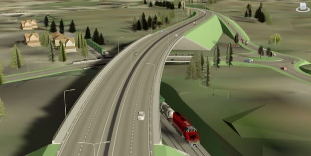
The world is three-dimensional. However, even in this day and age, we manage the 3D world based on data, which is usually 2D or flat. To overcome this, The Jaipur Development Authority (JDA) and Department of Technology and Communication (DoITC) of the Government of Rajasthan have initiated this project to create a three-dimensional model of the city, including Greater Jaipur, which spans over 3,000 sq km of area, making it one of the biggest projects in the world. Under this project, Genesys has been mandated to create accurate data sets of the entire city, including all the existing structures in the city. This would provide Jaipur its own virtual model in 3D, which would assist the authorities in effective planning and development of the city.
RajCOMP Info Services (RISL) awarded the contract to Aurionpro Solutions for development and implementation of 3D City solution for Jaipur. As the project involves aerial survey, terrestrial survey and 3D city model development, Aurionpro Solutions subsequently contracted the 3D modeling work to Genesys International Corporation. Genesys’ role includes creation of a precise 3D model of one million widespread structures present in the city. This would require us to create three-dimensional images in Level of Detail (LOD) 3 – this means not only creating the building model, but also models that reflect the doors, windows, terraces and all the architectural facades as is, digitally in 3D. The project is likely to get completed by mid 2020. Along with effective city planning and development, 3D city will support various government authorities with a wide range of applications, including emergency/disaster management, traffic management, infrastructure project monitoring, etc.
In our experience of working with multiple government bodies, we would like to mention that the Government of Rajasthan is highly supportive and is a leader in usage of technology.
Which technologies you are using for fetching and analysing the data?
As part of the project, Genesys International Corporation has started an aerial survey of Jaipur. The flight mounted with state-of-the-art technology flies over the city every day – subject to clearance from Air Traffic Control of Jaipur. For the first time in India, a hybrid aerial sensor, capable of acquiring vertical and oblique aerial photographs, along with LiDAR technology simultaneously, is being used by us for the project. In addition to this, LiDAR backpack sensors are being used to map the narrow lanes of the city. This is one of the most complex projects to be undertaken in the industry worldwide and makes Rajasthan the first state in the country to launch the 3D smart city model in geographic information system (GIS) environment.
Apart from Jaipur, are you working on other similar projects?
With over two decades of experience in the GIS and Geospatial Engineering domain, Genesys has been conceptualising and building innovative smart solutions for municipalities and urban local bodies across the globe. Genesys is the first company to introduce LiDAR technology in India. When it comes to similar projects, Genesys undertook a 3D mapping project for the Municipal Corporation of Greater Mumbai (MCGM), enabling them to build a platform for property tax administration. The project is assisting MCGM in monitoring deviations in building constructions and traces those who are avoiding property taxes in an effective way.
Further to this, the expertise of Genesys has been effectively utilised in projects in sectors like telecom, power, mining, water supply, etc. We are also working with the Konkan Railways on a project to map the railways tracks to accurately check wear-and-tear; thereby avoiding mishaps. Recently, we signed an MoU with Wipro to accelerate India’s position to a global level in the field of autonomous driving. Herein, we will be using our core strength and expertise to develop HD maps and content, while Wipro will develop the navigation and control technology for autonomous system and smart mobility companies.
In the domain of navigation and high-definition maps, a strong workforce of more than 1,500 experienced mapping professionals at Genesys is working with several large companies across the globe. However, due to Non-Disclosure Agreement (NDA), the names of the companies and details of the projects cannot be shared at the moment.


Informative post! Thanks for sharing this article with us. Keep sharing.